6:40 PM
 Unknown

 Geography

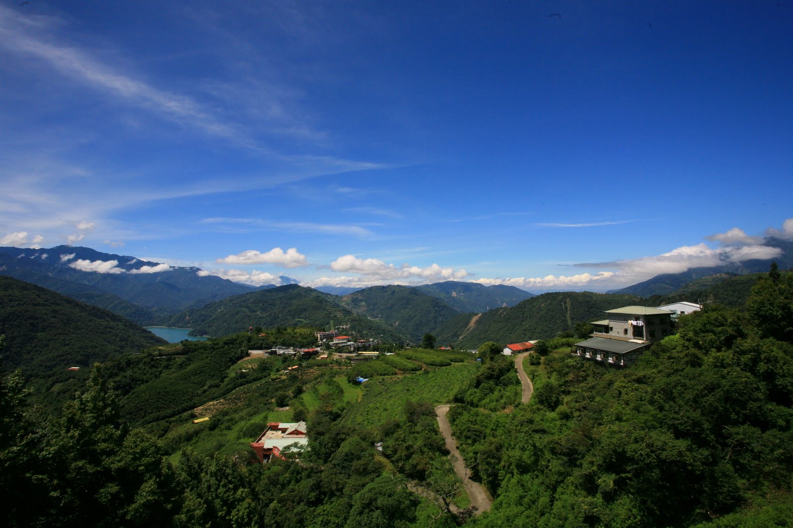
Mount Fuji is a distinctive feature of the geography of Japan. It stands 3,776.24 m (12,389 ft) high and is located near the Pacific coast of central Honshu, just west of Tokyo. It straddles the boundary of Shizuoka and Yamanashi prefectures. Three small cities surround it: Gotemba to the south, Fujiyoshida to the north, and Fujinomiya to the southwest. It is also surrounded by five lakes: Lake Kawaguchi, Lake Yamanaka, Lake Sai, Lake Motosu and Lake Shoji. They, and nearby Lake Ashi, provide excellent views of the mountain. The mountain is part of the Fuji-Hakone-Izu National Park. It can be seen more distantly from Yokohama, Tokyo, and sometimes as far as Chiba, Saitama, and Lake Hamana when the sky is clear.
The temperature is very low at the high altitude, and the cone is
covered by snow for several months of the year. The lowest recorded
temperature is −38.0 °C, and the highest temperature was 17.8 °C
recorded in June 2008.
Aokigahara
The forest at the north west base of the mountain is named Aokigahara. Folk tales and legends tell of demons, ghosts, and goblins
haunting the forest, and in the 19th century, Aokigahara was one of
many places poor families abandoned the very young and the very old. Aokigahara is the world’s second most popular suicide location after San Francisco’s Golden Gate Bridge. Since the 1950s, more than 500 people have lost their lives in the forest, mostly suicides. Approximately 30 suicides have been counted yearly, with a high of nearly 80 bodies in 2002. The recent increase in suicides prompted local officials to erect signs
that attempt to convince potential suicides to re-think their desperate
plans, and sometimes these messages have proven effective. The numbers of suicides in the past creates an allure that has persisted across the span of decades.
Due to the dense forest and rugged inaccessibility, the forest has
also attracted thrill seekers. Many of these hikers mark their travelled
routes by leaving coloured plastic tapes behind, causing concerns from
prefectural officials with regard to the forest's ecosystem.

Geology
Mount Fuji is located at the triple junction where the Amurian Plate, the Okhotsk Plate, and the Philippine Sea Plate meet. Those plates form the western part of Japan, the eastern part of Japan, and the Izu Peninsula respectively.
Scientists have identified four distinct phases of volcanic activity in the formation of Mount Fuji. The first phase, called Sen-komitake, is composed of an andesite core recently discovered deep within the mountain. Sen-komitake was followed by the "Komitake Fuji," a basalt
layer believed to be formed several hundred thousand years ago.
Approximately 100,000 years ago, "Old Fuji" was formed over the top of Komitake
Fuji. The modern, "New Fuji" is believed to have formed over the top of Old Fuji around 10,000 years ago.
The volcano is currently classified as active with a low risk of eruption. The last recorded eruption was the Hōei eruption which started on December 16, 1707 (Hōei 4, 23rd day of the 11th month) and ended about January 1, 1708 (Hōei 4, 9th day of the 12th month) during the Edo period. The eruption formed a new crater and a second peak (named Hōei-zan after the Hoei era) halfway down its side. Fuji spewed cinders and ash which fell like rain in Izu, Kai, Sagami, and Musashi.
Since then, there have been no signs of an eruption. In the evening of
March 15, 2011, there was a magnitude 6.2 earthquake at shallow depth a
few kilometres from Mount Fuji on its southern side. But according to
the Japanese Meteorological Service there was no sign of any eruption.

Adventuring
Transportation
The closest airport with scheduled international service is Mt. Fuji Shizuoka Airport. It opened in June 2009. It is about 80 kilometres (50 mi) from Mount Fuji. The major international airports serving Tokyo, Tokyo International Airport (Haneda Airport) in Tokyo and Narita International Airport in Chiba, are some hours from Mount Fuji.
On 5 March 1966, BOAC Flight 911, a Boeing 707,
broke up in flight and crashed near Mount Fuji Gotemba New fifth
station, shortly after departure from Tokyo International Airport. All
113 passengers and 11 crew members were killed in the disaster, which
was attributed to extreme clear air turbulence caused by lee waves downwind of the mountain. There is now a memorial for the crash a little way down from the Gotemba New fifth station.
Climbing routes
Approximately 300,000 people climbed Mount Fuji in 2009. The most popular period for people to hike up Mount Fuji is from July to August, while huts and other facilities are operating.
Buses to the fifth station start running on 1 July. Climbing from
October to May is very strongly discouraged, after a number of
high-profile deaths and severe cold weather.
Most Japanese climb the mountain at night in order to be in a position
at or near the summit when the sun rises. The morning sunshine is called "Goraikō" which means "honourable arrival of light".
There are four major routes from the fifth station to the summit with
an additional four routes from the foot of the mountain. The major
routes from the fifth station are (clockwise) the Lake Kawaguchi, Subashiri, Gotemba, and Fujinomiya
routes. The routes from the foot of the mountain are the Shojiko,
Yoshida, Suyama, and Murayama routes. The stations on different routes
are at different elevations. The highest fifth station is located at
Fujinomiya, followed by Kawaguchi, Subashiri, and Gotemba.
Even though it is only the second highest fifth stations, the
Kawaguchiko route is the most popular route because of its large parking
area and many large mountain huts where a climber can rest or stay.
During the summer season, most Mount Fuji climbing tour buses arrive
there. The next popular is the Fujinomiya route which has the highest
fifth station, followed by Subashiri and Gotemba.
Even though most climbers do not climb the Subashiri and Gotemba
routes, many descend these because of their ash-covered paths. From the
seventh station to near the fifth station, one could run down these
ash-covered paths in approximately 30 minutes. Besides these routes,
there are tractor routes along the climbing routes. These tractor routes
are used to bring food and other materials to huts on the mountain.
Because the tractors usually take up most of the width of these paths
and they tend to push large rocks from the side of the path, the tractor
paths are off-limits to the climbers on sections that are not merged
with the climbing or descending paths. Nevertheless, one can sometimes
see people riding mountain bikes along the tractor routes down from the
summit. This is particularly risky, as it becomes difficult to control
speed and may send some rocks rolling along the side of the path, which
may hit other people.
The four routes from the foot of the mountain offer historical sites.
The Murayama is the oldest Mount Fuji route and the Yoshida route still
has many old shrines, teahouses, and huts along its path. These routes
are gaining popularity recently and are being restored, but climbing
from the foot of the mountain is still relatively uncommon. Also, bears have been sighted along the Yoshida route.

The ascent from the new fifth station can take anywhere between three
and eight hours while the descent can take from two to five hours. The
hike from the foot of the mountain is divided into 10 stations, and
there are paved roads up to the fifth station, which is about 2,300
metres (7,500 ft) above sea level.
Huts at and above the fifth stations are usually manned during the
climbing season, but huts below fifth stations are not usually manned
for climbers. The number of open huts on routes are proportional to the
number of climbers—Kawaguchiko has the most while Gotemba has the least.
The huts along the Gotemba route also tend to start later and close
earlier than those along the Kawaguchiko route. Also, because Mount Fuji
is designated as a national park, it is illegal to camp above the fifth
station.
There are eight peaks around the crater at the summit. The highest point in Japan is where the Mount Fuji Radar System used to be. Climbers are able to visit each of these peaks.
Paragliding
Paragliders
take off in the vicinity of the fifth station Gotemba parking lot,
between Subashiri and Hōei-zan peak on the south side from the Mountain,
in addition to several other locations depending on wind direction.
Several paragliding schools use the wide sandy/grassy slope between
Gotenba and Subashiri parking lots as a training hill.

 Posted in: List of Mountains in Asia